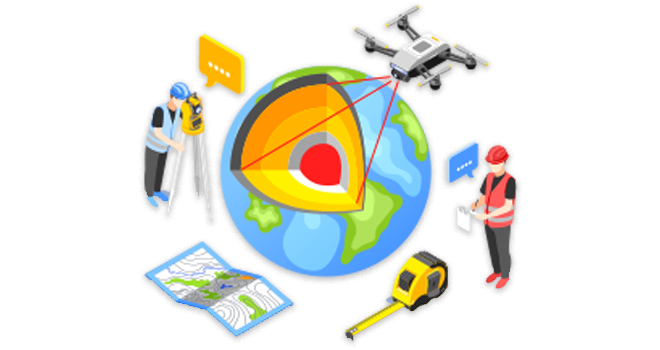

Digitization is the process mainly followed by GIS professionals for converting geographic data into digital form. the data on a GIS usually entails using different types of sensors and GPS that helps in gathering the data like coordinates from a map, image, or other sources of data which is later processed & converted into digital format.
During this process, spatial data on maps or images are traced as points, polylines or polygons.
It has many uses in GIS, including recording and displaying geographic information, generating map layers, and storing data.
The digitizer uses a digitizing tablet (also known as a digitizer or a graphics tablet) to trace the points, lines and polygons of a hard-copy map.
The information fed into a computer to create an identical, digital map is done using a special magnetic pen, or stylus. The puck is a tool used for greater precision and pinpointing map features.
This method involves scanning a map or image into a computer before the digitizer traces the points, lines and polygons using digitizing software.
It has largely replaced Manual digitizing because of its speed and accuracy.
Automatic Digitizing is a process of converting raster to vector data or converting 2D or 3D objects into digital data.
The primary goal for automatic digitizers is to provide up-to-date spatial data in real-time.